Lake Natron
brief overview
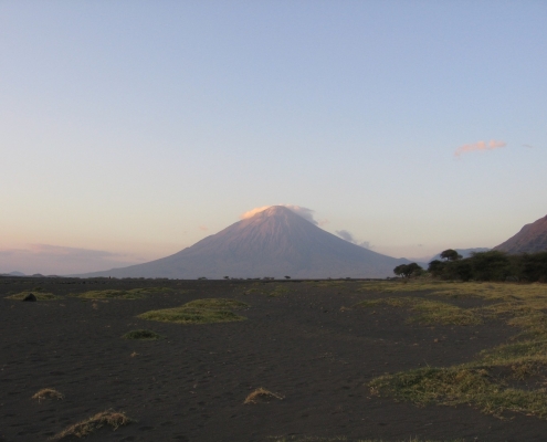
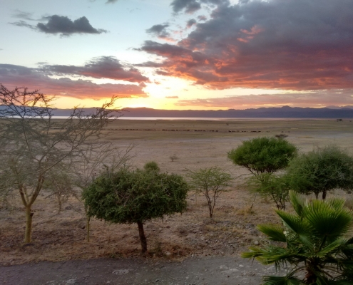
Lake Natron is located in northern Tanzania on the border with Kenya, near the Serengeti National Park and the Ngorongoro Conservation Area. The sacred mountain of the Masai, Ol Doinyo Lengai, dominates the horizon at the lake area. Lake Natron stretches over an area of 56 km long and 24 km wide, but the water level decreases significantly in the dry season.
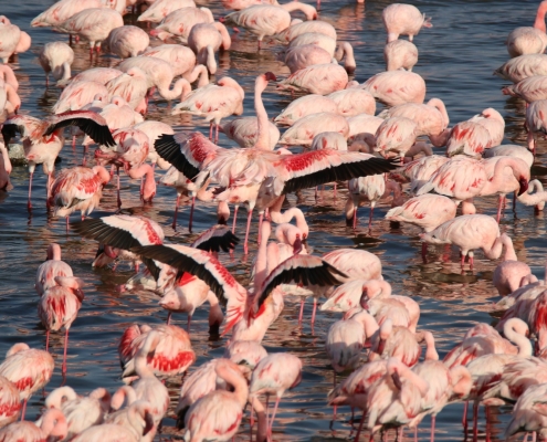
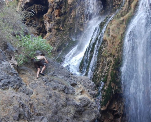
The lake is a breeding ground for thousands of flamingos, which feed on algae in the lake. The volcanic active area around the lake has numerous waterfalls and gorges. The Engaruka ruins on the way to the lake are a mysterious piece of human history in this area. They are remnants of an elaborate irrigation system with terraced stone houses and strange platforms filled with rubble. The inhabitants apparently also mastered ironworking techniques. It is assumed that the ancestors of today’s Iraqw (= Mbulu) built this settlement.
Facts and Figures
Lake Area: 1 up to 800 km²
Travel: 200 km from Arusha
Known for: Flamingos, Soda Lake, Ol Doinyo Lengai Mountain (2878 Meters), Gelai Volcano (2950 Meters), Engaresero Canyon und Waterfalls
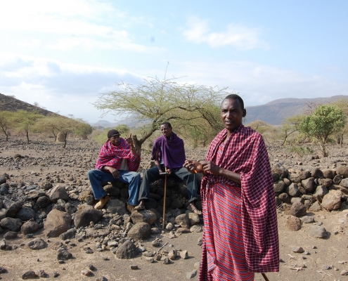
Activities: Walking Safaris, Maasai Village Visit, Ol Doinyo Lengai Hiking, Game Drives, Engaruka Ruins
Lake Natron
This lake is probably one of the most beautiful soda lakes in Africa, situated in the middle of a fascinating desert landscape. However, the heat at the lakeshore is mostly quite oppressive and the air is quite stuffy, as a lot of water evaporates at the lake surface due to the hot climate. The water level shimmers glaringly in the sun and the dried out edges of the lake are covered with a track-white salt crust. Here it is advisable to wear good sunglasses. Flamingos are the only more highly developed creatures that can settle in the hot, stuffy world of Lake Natron, thanks to the algae growing rapidly in the fresh water with no runoff.
In total, the lake is about 60 km long and 20 km wide, but since it is mainly fed by rainfall, its extent varies greatly. At the height of the dry season it can shrink to about 2 km width. Sometimes the shallow lake dries up completely and leaves a white salt crust. Accordingly, the area of the soda lake varies between 800 square kilometres at the end of the rainy season and one square kilometre towards the end of the dry season, depending on how much rain has fallen in the region. As soon as the water level falls, the lake immediately divides into two areas, with a large northern half and a much smaller southern half. At the edge, where the lake bottom has dried up, it ruptures and at the crack sites soda (=secondary sodium carbonate) is pressing down, so that e.g. from a higher location huge honeycomb structures can be seen. These are coloured red at their edges, partly by purple bacteria. Further out in the lake, where the water is deeper, there are spiral-shaped geysers – often several hundred metres in diameter – that produce hot saturated soda lye. Large, solid soda floes have formed on the surface and are floating on the lake. Purple bacteria have coloured the water as a whole in an extensive red-brown to purple-violet colour. In addition to the purple bacteria, a whole range of microorganisms and algae also thrive in this alkaline brine solution, which is about 40 degrees Celsius warm. Above all, it is the blue-green algae of the genus Spirulina that multiply very well in the warm, alkaline water. The reproduction of these algae depends on the salt concentration in the water; the salt concentration is again determined by the intensity of the rainfall. As mentioned above, these spirulina algae form the food basis for flamingos, which appear in huge flocks during and after the rainy season. For reasons as yet unexplained – perhaps because they are safe from enemies here – flamingos use the muddy, hostile lake region as a breeding ground. With binoculars you will probably be able to spot hundreds of nesting mounds on the shimmering water surface. – Soda ash is often stirred up by the wind, giving off a very typical smell around the lake.
The northern tip of Lake Natron extends into Kenya. In the south, the Ngaresero River, which comes from the Ngorongoro highlands, is responsible for the second major water supply, in addition to the extensive rainfall. On the east side of the lake you can see the huge massif of Mt Gelai, rising more than 2300 m from the plain, which is covered by a dense jungle on top. Lake Natron owes its name to the high content of secondary sodium carbonate (soda). Investigations revealed reserves of 145 million tons of soda ash – an important raw material for the production of glass, soap, water softeners and chemicals.


