Kilimanjaro National Park
brief overview
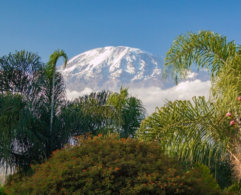
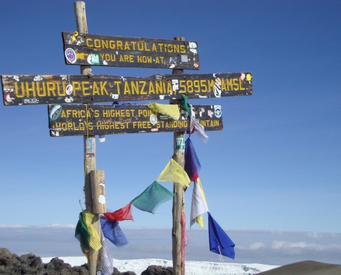
The Kilimanjaro, also known as the roof of Africa or crown of Tanzania, is the highest mountain in Africa and the highest freestanding peak in the world. The summit of Kilimanjaro National Park rises to 5,875 meters above sea level and is only 330 km south of the equator.
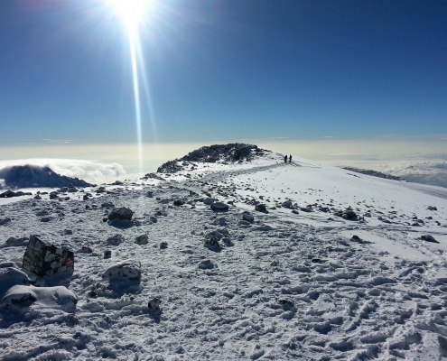
Kilimanjaro consists of three volcanic peaks. The summit Shira is buried, Mawenzi (5,149 m) and the geologically youngest Kibo (5,895 m) are dormant at the moment, but could erupt again at any time. Despite its near 6,000-meter altitude, Kilimanjaro is one of the most accessible mountains in the world. Accessible should be interpreted here in the right way: Although the summit can be reached without formal climbing training or professional equipment, a successful ascent is a great challenge due to the extreme altitude. Besides the climbing experience, Kilimanjaro also offers the possibility to explore different climatic zones, from tropical savannah to the alpine glacier zone.
Facts and Figures
Area: 1.668 km²
Travel: 110 km from Arusha
Established: 1973
Visitors: ca 65.000 / year
Known for: Uhuru Peak, Credner Glacier, Rainforest, UNESCO World Heritage
Activities: mountain climbing, day hikes
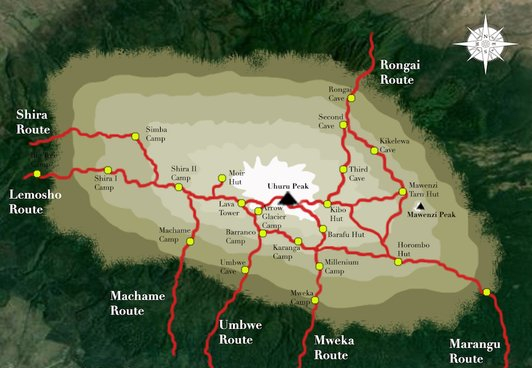
The 6 Kilimanjaro Routes:
| Route | Ø Days |
Difficulty | Accommodation | View | Popularity |
| Marangu | 5 | average | mountain huts | good | high |
| Machame | 6 | hard | tents | excellent | high |
| Lemosho | 6 | average | tents | excellent | average |
| Shira | 6 | hard | tents | excellent | average |
| Rongai | 6 | average | tents | very good | low |
| Umbwe | 5 | very hard | tents | very good | very low |
The Mweka route only serves as a supply and descent route and may not be used as an ascent route.
The Kilimanjaro National Park
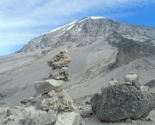
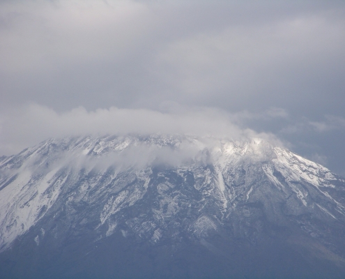
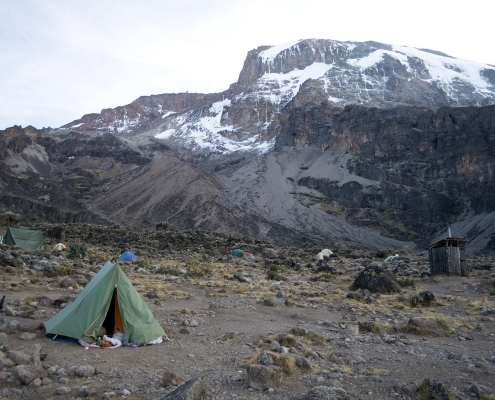
Many of you have probably seen a picture of Kilimanjaro National Park, the highest mountain in Africa, rising majestically from the shimmering savannah. With a height of 5,895 m, the glacier-covered volcanic massif in the northeast of Tanzania is enthroned. It consists of three extinct volcanoes: the Mawenzi, the Kibo and the Shira. The Kibo is the youngest volcanic peak, therefore it has erupted last and has partially buried the Shira volcano, which was the first to erupt. The Kibo volcano does not seem to be completely extinct yet, because within its summit crater (=Reusch crater), fumaroles can still be found today. The Mawenzi is located a little west of the Kibo/Shira massif and is strongly fissured due to erosion and mostly free of snow. The Kibo is climbed with its highest point, the Uhuru Peak 5895 m). It is connected to Kibo by a plateau about 5 km wide, which is called saddle.
History:
For the local tribes around the Kilimanjaro massif, the Kibo was more of a mystical mountain where spirits and ghosts were at work. Therefore most of them decided better to stay away from it. Some locals who had tried to conquer the mountain lost their lives. It was not until 1848 that the missionary Johannes Rebmann became the first European to take notice of the snow-covered mountain on the equator and published his travel notes in a missionary journal. In the beginning nobody wanted to believe him that there was actually snow on the equator. The common opinion of the people around Kilimanjaro was that the material shining in the sun is silver. In 1889, Germany went down in the history of Kilimanjaro for a second time, when the German Hans Meyer reached the Kibo summit as the first climber and called it Kaiser-Wilhelm-Spitze. This name of the main summit existed until 1961, when, with the achievement of independence, the summit of Kilimanjaro was renamed “Uhuru Peak”.
There are six official Kilimanjaro routes. The table above shows the advantages and disadvantages of each route. Of course, the days can be individually adapted to the group. The Machame Route is by far the most scenic, but also reveals the steepest ascent. Both the Rongai and Marangu routes are easy to climb, sleeping in tents on the former and in huts on the latter. Despite the flat ascent on the Rongai route, it offers less opportunities for acclimatization. The Machame and Lemosho routes allow hiking at high altitudes and sleeping at low altitudes, which has a positive effect on avoiding altitude sickness.


